Regional profile
The Central West Local Land Services region is home to around 110,000 people and covers the central west slopes region around Grenfell, Forbes, and Wellington to the western plains of Nyngan and Coonamble.
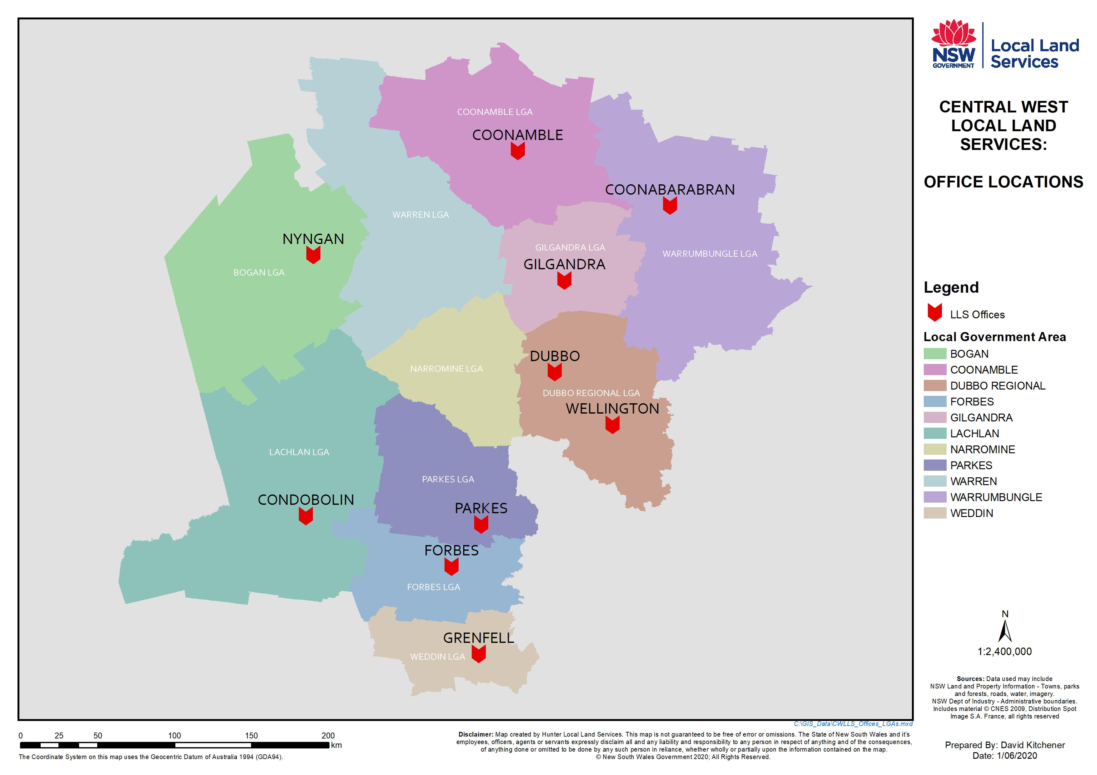
Our region aligns mostly with Local Government Area boundaries, and includes the shire councils of:
- Bogan (lower)
- Coonamble
- Dubbo Regional
- Forbes
- Gilgandra
- Lachlan
- Narromine
- Parkes
- Warren
- Warrumbungle
- Weddin
Map of region
Download a map of the Central West region (JPG)
Industries
Mixed farming production of cropping and livestock systems is dominant across the region. Wheat is the main cereal crop produced, with canola the most significant non-cereal crop. Sheep and cattle production are the dominant livestock enterprises. The floodplains region around Narromine and Trangie predominantly support large scale irrigated citrus and cotton operations whilst the Southern Lachlan Plains region surrounding Condobolin and Forbes provides ideal conditions for irrigated cropping and dairy production systems.
The region produces a number of horticultural crops including cherries and apples, and also supports a viticulture industry. It is home to a number of natural assets, including the internationally recognised RAMSAR Macquarie Marshes.
POPULATION PROFILE
Around 89% of the regions community were born in Australia, higher than the state average (69%). The majority of the population cited their religion as Christian (80%), compared to 65% statewide.
A large proportion (61%) of the regions population were working age (15-64 years), slightly lower than the state average of 66%.
Over one in five people (22%) were aged under 15 years and 17% were aged over 65 years.
CULTURAL HERITAGE
Our region is home to around 14,500 Indigenous people, the second highest Indigenous population of all Local Land Services regions.
The major Aboriginal nations that the central west region overlies are the Wiradjuri, Kawambarai, Weilwan, Wongaibon. These nations extend into other Local Land Services regions also.
INDUSTRY
Of those working, the main industries of employment cited in the 2011 Census were agriculture; forestry and fishing (9% of the workforce); health care and social assistance (5%); retail (5%); and education and training (4%).
Of the 7,113 people working in the agricultural industry, 74% were male. Over half (55%) were aged 50 years and over, compared to 21% of the total workforce.
The beef, sheep and grain industry employed 88% of the agricultural workforce.
The regions most popular occupation was manager (20%), followed by professional (15%), technical and trade (13%); and clerical and admin (12%).
Nearly one in five people (19%) were volunteers, higher than the state average (14%). Volunteers were more likely to be females (57% of volunteers) than males.
NATURAL ASSETS
The area covered includes the Lachlan, Macquarie-Bogan and Castlereagh catchments.
It has a number of natural resource assets such as national parks, culturally significant areas and the internationally recognised Macquarie Marshes.
Wetlands are a major ecological feature, including the major streams and water courses of the Macquarie Marshes, the Bogan and lower Castlereagh floodplains.
Soil types throughout the region also vary considerably, ranging from robust durable soils to very fragile soils.
LANDUSE
Agriculturally, the region is highly diverse, adding to the complexity of natural resource management issues. Evenly spread winter and summer rainfall supports productive cropping systems. The most significant land use is grazing (71%), followed by broad acre crops (17%). The region has increasing areas of fruit and vegetable growing and viticulture.
The region has traditionally been impacted by a large dependency on wheat as a crop. Many growers tend to move from wheat to sheep, depending on the economic climate and many have been forced to seek off-farm income during drought conditions.
A large proportion of the area is dedicated to cereal crop production, which accounts for 88% of the area under crops.
Wheat has traditionally generated the most agricultural income (72% of total cereal production or 1.4 million tonnes). Canola is the most significant non cereal crop in the region, at 69% of the total oilseed production of 21,305 tonnes and $6.7 million value.
Of the horticultural crops in the region, fruit production is the most significant.
Our region has approximately 6 million sheep with lamb stock ranked second highest at 1.7 million (25%), followed by 0.7 million cattle (11%) and other commercial animals.
VEGETATION
The vegetation in the region has largely been cleared for agriculture, with approximately 38% of the Central West currently vegetated to some extent and 62% cleared or significantly modified. The large remaining blocks of native vegetation are either in national parks, nature reserves, state forests and travelling stock routes or on soils unsuitable for cultivation.
PEST SPECIES
Declared pests across the region include feral pigs in the north west of the region, foxes and periodic locust plagues across the whole region. Periodic mouse plagues also cause periodic problems, mainly in cropping.