Deer on the radar for upcoming aerial surveillance campaign
16 Mar 2021
South East Local Land Services biosecurity teams will be carrying out aerial surveillance across the South East over the coming months in order to improve their understanding of vertebrate pest animals (pest) numbers and movements in the wake of the Southern Fires.
The Southern Fires had a devastating impact across the South East and pests, including deer, feral pigs, wild dogs and foxes, are posing a significant challenge to the environment and communities as they move into new areas in search of food.
“This is a unique opportunity for us to get a clear picture of pest numbers and distribution across the region” said Kylie Challen South East Local Land Services’ Biosecurity Coordinator.
“The information that we will gather from these surveillance flights will assist us in planning both our short-term reactive measures and our longer term, more strategic measures and allocation of resources”.
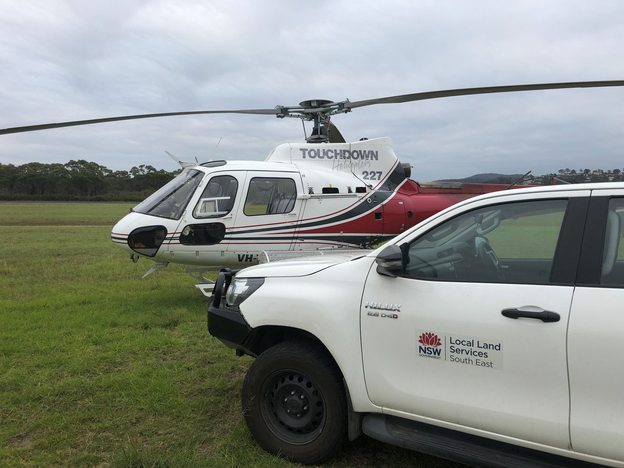
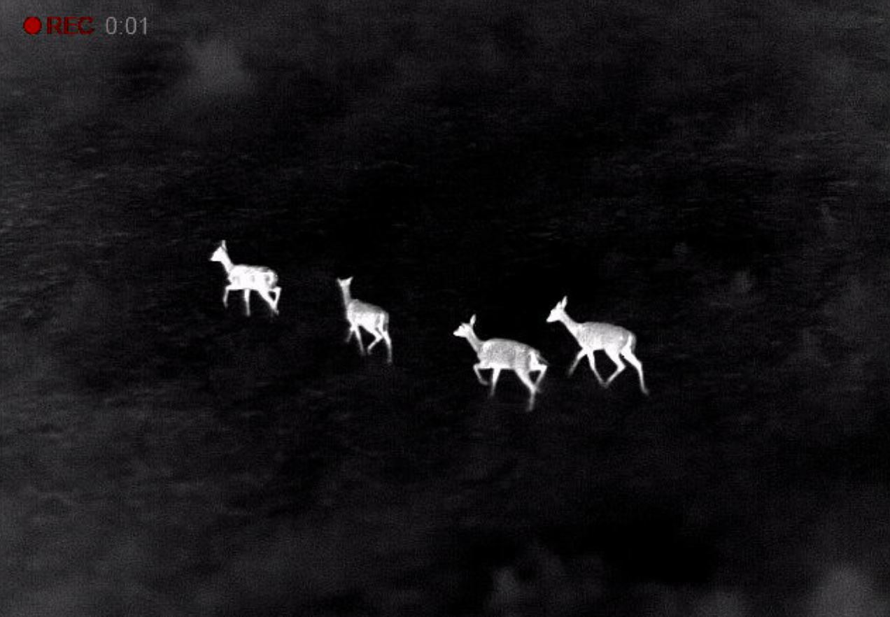
Aerial surveillance for pests involves a low flying helicopter flying set lines in areas identified as pest hotspots. Thermal imaging is used to get accurate species identification and pest numbers.
“The thermal imaging and aerial surveillance are great tools, but they do come with some challenges,
“We need clear weather to fly safely at low altitudes and to be able to see the pests, and we need the ground temperature to be at a suitably low level that it doesn’t impact the clarity of the thermal imaging.
“That’s why we’ve got to make the most of the conditions when they are available, and why we want to let the community know about it now”.
South East Local Land Services also encourages land managers and communities to report any sights, impacts or suspicions of pest animals to their nearest biosecurity team.
“Pests like deer are a real nuisance for producers and the broader public. They increase grazing pressure on pasture, disturb fences, graze, trample and rub against native vegetation and also pose a significant risk to motorists.
“The community play a really key role in helping us to identify what these pest hotspots might be so we can then go and take a closer look” said Kylie.
To find out more about the aerial surveillance campaign, or community-based pest management in your local area contact your nearest Local Land Services office on 1300 795 299.
Fast Facts:
- Deer are a priority pest across NSW.
- According to the latest data from NSW DPI, in 2020 feral deer species were recorded across 180,443 square kilometres, or 22 per cent, of NSW. This was a significant increase from the feral deer distribution of 138,000 square kilometres recorded in 2016.
- Deer pose a considerable threat to local producers, through increased grazing pressure, damage to farm infrastructure and the environment, via browsing, rubbing against trees and trampling water ways.
- Local Land Services’ biosecurity teams have been working with the community to establish best practice deer control across the South East. You can see more here.
ENDS
Media contact: Dave Michael, South East Local Land Services, 0418 513 880